
DRONE SERVICES
Looking for professional drone services or aerial mapping support in Louisiana? ARGO at Northwestern State University offers FAA-certified drone operations for high-quality aerial photography, video production, mapping, 3D modeling, and geospatial data collection.
Powered by advanced UAV technology, ARGO’s experienced drone team delivers accurate, efficient, and reliable results for a wide range of needs. Whether you’re a landowner, business, researcher, or organization, you can easily access expert drone solutions right here at NSU.
Book drone services through ARGO today and take advantage of cutting-edge aerial technology backed by university expertise.
Drone Education
Build career-ready expertise in drone-based aerial photography, advanced image processing, geospatial data analysis, 3D modeling, mapping technologies, and remote sensing, with preparation for FAA Part 107 certification.
This hands-on training equips you to collect, analyze, and visualize aerial data for real-world applications across high-demand industries, including agriculture, construction, environmental management, public safety, surveying, and media production.
3D Digital Field School
The ARGO Lab and the National Center for Preservation Technology and Training (NCPTT), in partnership with the Cane River National Heritage Area, run a two-week long summer field school for Natchitoches area high school students.
During these two weeks, students learn the importance of documenting their history through various means: 3D modeling, LiDAR scanning, and collecting oral histories/historic photographs. Documenting these areas allows students to gain hands-on field experience with drone technology and photogrammetry software.

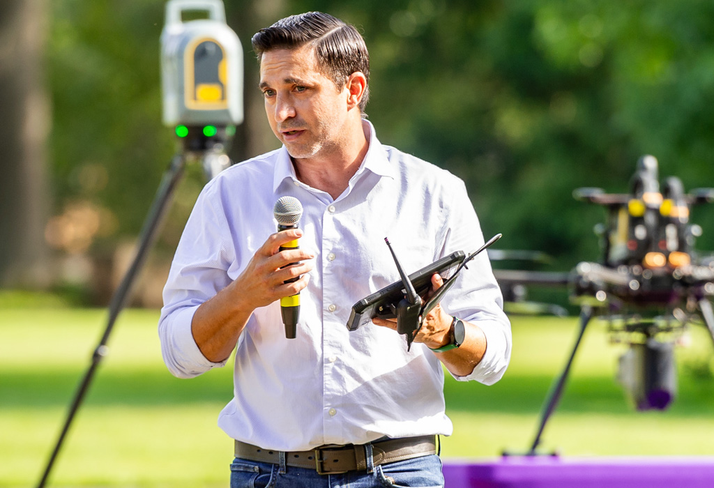
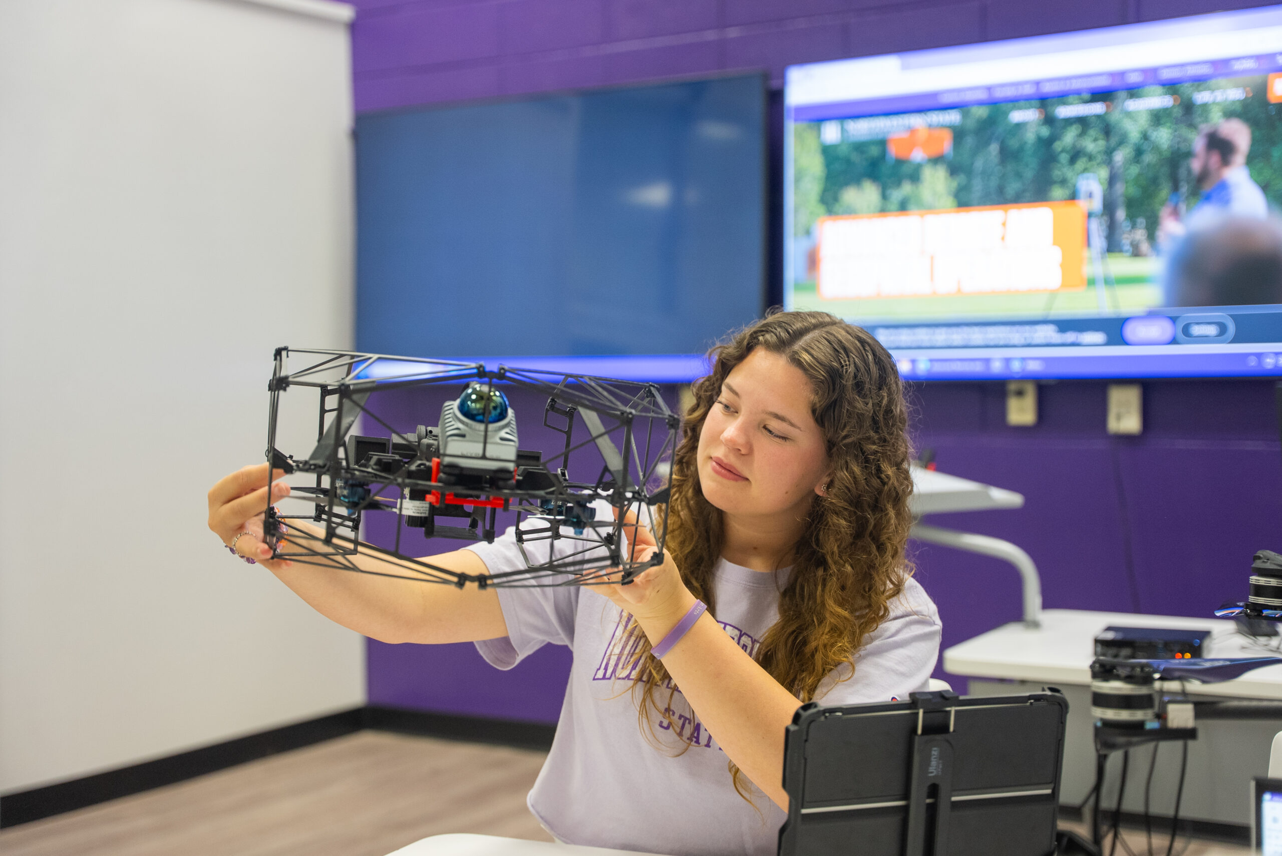
Meet The Fleet
- The senseFly eBee X is a fixed-wing drone designed for mapping and surveying. It’s design allows for the integration of various payloads, including 3D imaging cameras and multispectral sensors. With a flight time of up to 90 minutes the eBeeX is well-suited for large-scale projects. It is ideal for industries such as agriculture and environmental monitoring.
- Multispectral imaging
- 3D imaging
- The DJI Mavic 2 Enterprise is a drone designed for professional use and features advanced imaging capabilities with a 12 MP camera and a 4K video recording. There are different payloads available including thermal and zoom camera options. The drone offers a flight time of up to 30 minutes and has GPS for precise navigation. Its design allows for the attachment of accessories like a spotlight, speaker, or beacon.
- 3D Imaging
- Thermal imaging
- The DJI Avata is a compact FPV (first-person view) drone which allows pilots to experience real-time video feed from the drone. It’s highly maneuverable and suitable for both indoor and outdoor use. The Avata is equipped with a camera that captures 4K video at 60 fps and offers advanced stabilization through RockSteady and HorizonSteady technology, ensuring smooth footage even during high-speed maneuvers.
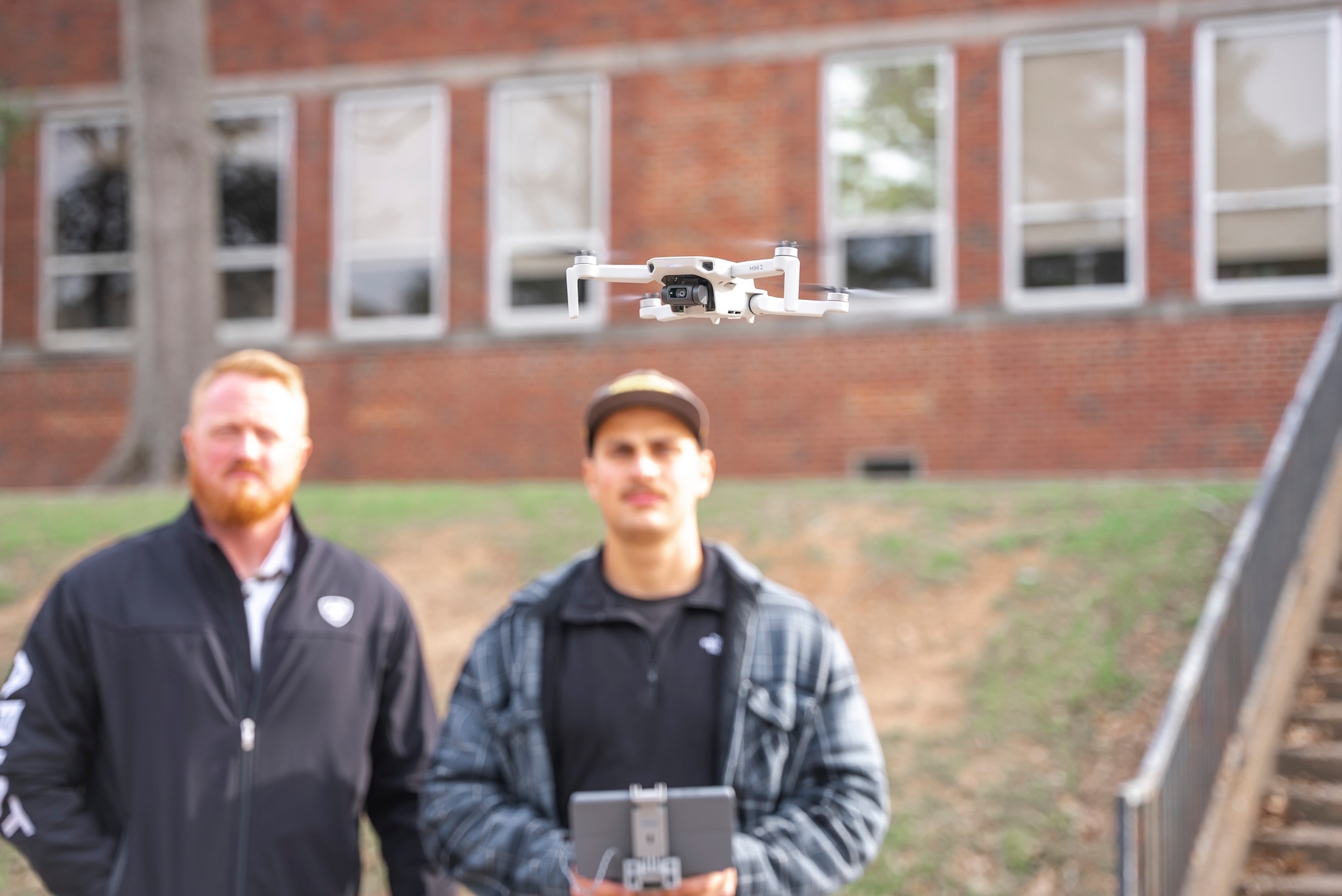
- The DJI Mavic Mini 2 is an excellent beginner drone due to its compact design and user-friendly features. Weighing just 249 grams, it is lightweight and easy to carry, making it an ideal tool for teaching beginners and classroom use.
- The HoverAir X1 features a high-quality camera that captures 4K video and 12 MP photos. We utilize this drone for shots at events such as football games because due to its light weight it can be safely operated over patrons while still capturing high-quality video.