





NATCHITOCHES – Northwestern State University Technical Services has received a $1.5 million grant from the National Park Foundation to support work with the National Park Service’s National Center for Preservation Technology and Training, or NCPTT.
NSU will conduct the project in partnership with NCPTT, which is located on the university’s Natchitoches campus and works to advance the preservation of historic buildings, landscapes and other cultural resources.
Through the two-year project, NSU and NCPTT will develop a risk assessment tool for historic sites in the National Park Service’s Southeast Region.
Jason Church, director of NSU Technical Services, said the project will involve traveling to historic sites owned by the National Park Service and collecting information that can be used to evaluate flood risks to historic buildings and landscapes.
“We will go in and make 3D models of the landscape,” Church said. “We take really precise GIS coordinates to figure out the elevation and where those are on the global plane, and we can then do predictive modeling and try to estimate what risk those buildings might have, both historic buildings and historic landscapes.”
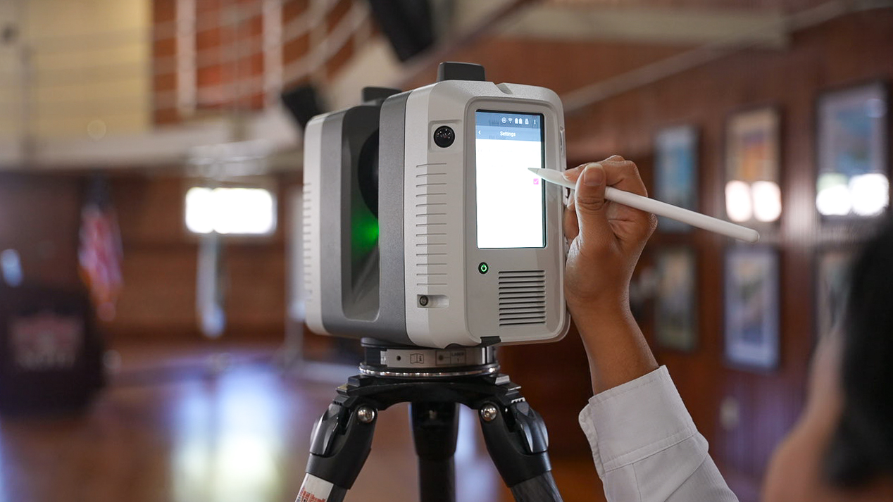
Geographic information system, or GIS, technology will be used to map sites and analyze geographic and elevation information for the risk assessments. LiDAR, which stands for light detection and ranging, will be used to document sites through detailed laser scanning and 3D modeling. Together, the technologies will allow researchers to map historic resources and analyze how flooding could affect them.
Megan Reed, senior laser scanning research associate, works with historic and cultural resources across the country.
“I go around surveying and doing 3D laser scans and creating 3D replicas of historic buildings, landscapes, structures, monuments, cultural resources and artifacts across the country,” Reed said. “I turn them into 3D models that become a digital space to create tours, renovation plans and even advanced CAD or historic documentation projects and drawings for the sites.”
“Louisiana is one of the main states that gets affected by flood elevation, especially along the southern border, where a lot of our historic sites have been lost,” Reed said. “This project will be a stepping stone to even greater projects to help protect our national history.”
The project will inform a National Cultural Resource Risk Atlas, helping National Park Service site stewards understand risks facing historic buildings and sites and use that information in preservation planning.
The grant will support new staff and contractors as well as upgrades to LiDAR and GIS equipment.
NSU and NCPTT have worked together for more than three decades on preservation-related projects involving NSU administrators, staff and students. This project will also create internship opportunities connected to GIS, unmanned aircraft systems and other technical work.
“These historic sites make up and tell the story of our foundation, and we want to make sure that these sites are around for a longer period of time,” Church said.