
NATCHITOCHES – Northwestern State University’s Student Government Association received a grant from the Cane River National Heritage Area with matching funds from the Grits and Mary Ryan Gresham Bird Trail to complete a campus tree survey. The project will serve as a base map for the planning and routing of one or more campus tree and bird trails and serve as a guide for future tree plantings and replacements of heritage tree species.
“I believe this project will enhance the beauty and value of our campus for all students,” said SGA President Jacob Ellis of Athens. “This gives students the opportunity to be involved in different projects that could come about because of this project. It will encourage students to get outside more and lead healthier lives.”
According to Debbie Smith, chief of the historic landscapes program at the National Center for Preservation Technology and Training, more than 150 species of trees once existed at NSU with many planted by H.J. Young and Dr. George Williamson, former biology professors, in the early 20th century, which may coincide or predate trees planted by the Federal Public Works Administration in the 1930s and 1940s. NSU professor Dr. George Ware planted additional trees in the 1950s and 1960s, including all or most of the 266 trees included in his original campus tree walk. Documentation of Dr. Ware’s tree walk exists only as a list of campus trees, lacking a detailed map. Robert Daspit planted additional trees in the 1970s and 1980s.
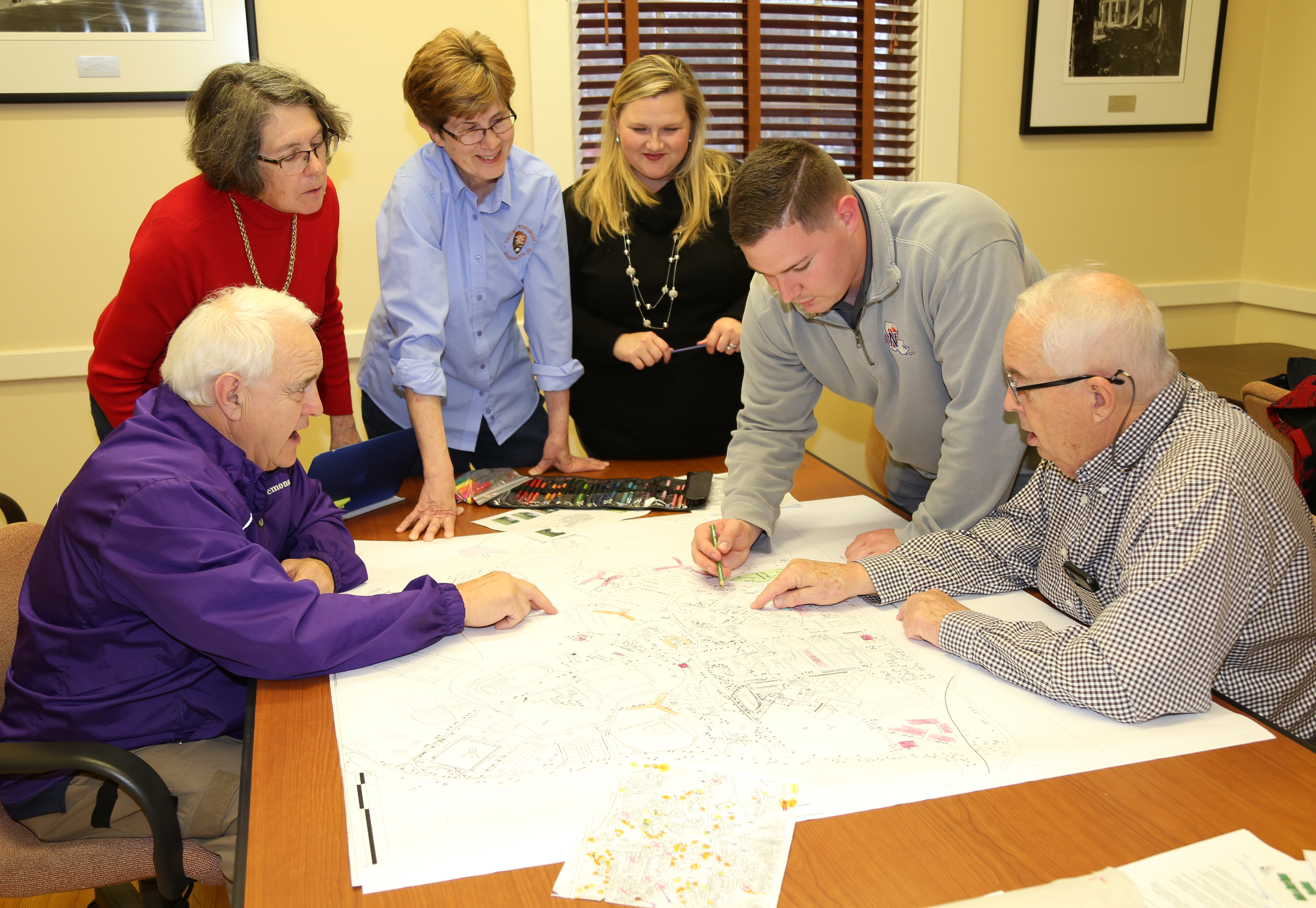
Northwestern State does not currently have an accurate or up-to-date inventory of existing trees on campus or a comprehensive plan to map the remaining trees. Campus faculty, staff and students have discussed the benefits of establishing campus tree and bird walks that would include existing heritage trees and other trees of significant size or species.
The first step of the project is to inventory all trees on the NSU campus between University Parkway, Chaplin’s Lake and Tarleton Drive. Fieldwork will identify locations and species of existing trees, measure and record statistics such as height and trunk diameter. Fieldnotes will be transcribed to a map that will identify trees and their locations to serve as a guide for future plantings.
The final product will be a map that includes updated landscape features and a new tree inventory. The project ties into efforts to link classroom learning with ecology and creates opportunities for outdoor learning in biology and environmental disciplines.